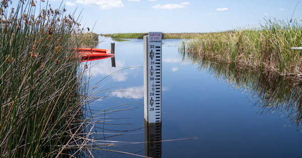
Managing water levels is a critical component of the South Florida Water Management District’s (SFWMD) mission.
DID YOU KNOW: The SFWMD upgraded the reference system used to measure water elevation readings in our monitoring network? The upgrade provides the public and stakeholders with more scientifically accurate information about levels for waterbodies in our region.
PRECISION IS CRITICAL: It is essential for water managers to know how much water must be moved from one elevation to another in order to safeguard and restore our water resources and ecosystems, protect our communities from flooding, and meet the region’s water needs.
IMPROVED ACCURACY: As part of the upgrade, the SFWMD shifted from reporting water elevation readings in the National Geodetic Vertical Datum of 1929 (NGVD29) to the North American Vertical Datum of 1988 (NAVD88). This includes data within the SFWMD’s environmental database for hydrologic, meteorologic, hydrogeologic and water quality data.
Technological advancements incorporated into the newer NAVD88 standard have created the ability for greater accuracy when measuring and recording water level data and more precision when determining how much water must be moved.
BY THE NUMBERS: While there is no difference in the actual water level, the water level readings in the NAVD88 measurement system will read about 0.6 feet to 1.6 feet less than the readings in the older NGVD29 measurement system.
REPORTING FOR THE FUTURE: For a period of time, the SFWMD will maintain both measurements in our environmental database.
To learn more about the NAVD88 measuring standard and its improved accuracy for water level data, please visit SFWMD.gov/NAVD and check out our FAQs and NAVD88 Fact Sheet.
